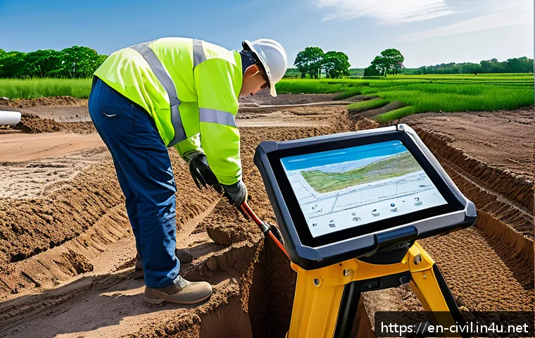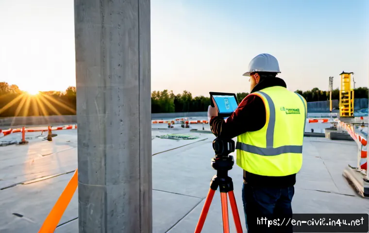
For civil engineering, use GNSS for open-sky positioning, robotic total stations for controlled layout, laser scanners for dense existing-condition capture, UAVs for planned aerial mapping, and mobile mapping for efficient corridor-scale collection.
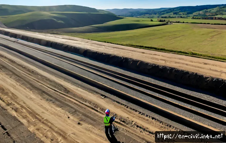
The best choice depends less on a specification sheet and more on required accuracy, site access, crew size, control quality, and the final deliverable.
A combined workflow is often more practical than relying on one instrument for every task. Comparing equipment, software subscriptions, rental options, and specialist survey services early can help teams avoid costly data gaps and rework.
Before requesting a dealer quote, define the coordinate system, validation process, and file formats your design and construction teams actually need.
Equipment can speed up field capture, but it does not remove the need for survey control, calibration checks, or qualified oversight.
At a Glance
- GNSS and robotic total stations are commonly suited to positioning, layout, and construction measurement when site conditions support reliable operation.
- Laser scanners and UAV mapping help capture complex or wide-area existing conditions, but both need clear control and validation plans.
- Mobile mapping can improve corridor data collection where repeated field access is difficult or expensive.
| Technology | Best Workflow Fit | Main Operating Constraint | Staffing Consideration | Cost Consideration |
|---|---|---|---|---|
| GNSS receiver | Open-site positioning, control-related field work, general mapping | Satellite visibility, corrections, multipath, and site quality controls | Efficient field collection when conditions are suitable | Consider correction services, controllers, software, and support |
| Robotic total station | Construction layout, detail measurement, controlled site work | Requires maintained line of sight | Can support one-person workflows | Include field software, accessories, training, and calibration needs |
| Terrestrial laser scanner | As-builts, structures, complex rehabilitation, existing conditions | Reflective surfaces, scan planning, registration, and point-cloud processing | Field capture may be fast; office processing still needs planning | Compare purchase, rental, processing software, and specialist services |
| UAV photogrammetry | Maps, surface models, and broad-area visual documentation | Flight planning, control points, camera calibration, and compliance requirements | Requires a competent flight and processing workflow | Review aircraft, software subscriptions, insurance, and service options |
| Mobile mapping | Roads, utilities, rail corridors, and repeated-access constraints | Positioning reliability and downstream data management | Useful where large areas must be collected efficiently | Often merits a comparison between ownership and specialist providers |
What Modern Surveying Technology Changes on Civil Engineering Projects
The Fastest Answer: Match the Tool to Accuracy, Access, and Deliverable Requirements
Modern surveying technology changes how quickly teams can capture, share, and reuse field information. It does not change the need to define required accuracy, establish control, and verify results before they drive design, quantities, or construction layout. A robotic total station may suit detailed staking where line of sight is available. A laser scanner may be the stronger option for a bridge, plant room, or rehabilitation site with dense geometry. For long corridors, mobile mapping or UAV mapping may reduce repeated site visits when the data product and control plan are clearly defined.
Why Field Capture, Office Processing, and Construction Layout Must Be Planned Together
A fast field capture method can create a slow office workflow if the data cannot move cleanly into CAD, BIM, GIS, or machine-control platforms. Decide early whether the deliverable is a coordinate file, surface model, point cloud, map, layout file, or as-built record. Coordinate-system consistency should be treated as a project requirement, not an office cleanup task. Document each handoff so that field crews, designers, and machine operators work from the same controlled reference.
Three Questions to Answer Before Comparing Equipment
First, what decision will the data support: layout, design, quantity work, documentation, or acceptance review? Second, what conditions will affect capture, including obstructions, vibration, weather, reflective surfaces, or poor satellite visibility? Third, can the team process, validate, and exchange the expected file formats without introducing conversion errors? These questions make an equipment quote more useful than simply comparing instrument specifications.
Compare GNSS, Robotic Total Stations, Laser Scanners, UAVs, and Mobile Mapping
Best Uses, Operating Constraints, and Validation Needs
GNSS receivers can provide real-time positioning when appropriate correction services, satellite visibility, and site-specific quality controls are in place. Robotic total stations support one-person measurement and layout workflows when line of sight is maintained. Terrestrial laser scanners capture dense point clouds for complex existing conditions, while UAV photogrammetry can produce maps and surface models when flight planning, control points, calibration, and applicable operational requirements are addressed.
Mobile mapping combines positioning sensors and scanners for corridor-scale collection. It can be valuable where returning to the field is costly, but its data still requires a defined validation process. No instrument category guarantees project performance by itself. Control checks, calibration procedures, and qualified professional oversight remain essential.
Comparison Table: Accuracy Expectations, Crew Requirements, Data Output, and Workflow Fit
Instead of assuming one tool is “most accurate,” compare whether its validated output meets the project requirement under actual site conditions. GNSS produces position-based field data; robotic total stations support measured points and layout; scanners generate dense point clouds; UAV systems produce imagery-based mapping outputs; and mobile systems create large corridor datasets. Each output has different storage, processing, review, and interoperability needs.
Where Equipment Price Is Only Part of the Total Cost
Purchase price is only one part of an enterprise surveying equipment decision. Include software subscriptions, correction services, field controllers, calibration, training, dealer support, data storage, processing time, and integration with existing CAD or BIM workflows. A lower initial price can be less attractive if the software cannot exchange usable files or if the support model does not match your project schedule.
Building a Reliable Digital Survey Workflow
Establishing Control and Coordinate-System Consistency
Start with documented control, the intended coordinate system, and a clear method for checking field results. Confirm that every instrument, controller, design file, and machine-control export is using the intended reference. Where multiple teams contribute data, record who created each dataset, how it was controlled, and what validation was completed.
Moving Data Between Field Controllers, CAD, BIM, GIS, and Machine-Control Platforms
Ask software providers and equipment dealers which formats are supported for import, export, and revision control. A point cloud that looks correct in one viewer may not be ready for design modeling or construction layout. Test a small exchange before committing an entire project workflow. Interoperability is often more valuable than an isolated feature list.
Quality Checks Before Design, Quantity, or Layout Decisions Are Made
Check control, coordinate references, file versions, field observations, and any point-cloud registration before the data is used downstream. Compare critical features against independent checks where the project process requires it. Do not rely on dense data alone: a detailed point cloud can still be unsuitable if its control, alignment, or deliverable purpose has not been verified.
Common Field Mistakes That Cause Rework
Treating Manufacturer Specifications as Guaranteed Site Performance
Published specifications describe equipment capability under stated conditions; they are not a substitute for project-specific verification. Multipath, obstructions, weather, vibration, and reflective surfaces can affect measurement reliability. Build validation into the daily workflow rather than discovering an issue after design or layout has progressed.
Ignoring Line of Sight, Satellite Obstruction, Reflective Surfaces, or Weak Control
A robotic total station needs maintained line of sight. GNSS depends on suitable satellite conditions and correction workflows. Scanning can be affected by surface characteristics and incomplete coverage. The practical answer is not to force one technology onto every site, but to identify constraints before assigning the field method.
Collecting Dense Point Clouds Without a Clear Deliverable and Processing Plan
Point clouds can document complicated geometry, but large datasets require decisions about registration, storage, clipping, modeling, and review. Before scanning, define what the owner, designer, or contractor needs to receive. This avoids collecting more data than the project team can process or validate.
Which Technology Fits Different Civil Engineering Situations?
Site Grading and Construction Staking
Site grading and staking may require a combination of GNSS and robotic total station workflows. Open areas may favor GNSS-based work when conditions and controls are appropriate. Areas with obstruction, tight geometry, or layout requirements may call for total-station measurement and checks.
Roads, Utilities, Rail, and Other Linear Infrastructure
Corridor projects can benefit from mobile mapping, GNSS, UAV mapping, or a blended approach. The right option depends on access, data volume, required deliverables, and the cost of returning to the corridor for missed information. Plan file handoffs carefully if the data will support design, GIS records, or machine-control preparation.
Existing Buildings, Bridges, Plants, and Complex Rehabilitation Work
Terrestrial laser scanning is well suited to dense documentation of existing conditions and complex structures. A scanner does not eliminate the need for control, registration review, or a defined as-built purpose. For difficult sites, a specialist survey provider may be more economical than building a one-time internal capability.
Small Teams, Occasional Projects, and Projects Requiring Specialist Support
For occasional scanning, aerial mapping, or corridor capture, equipment rental or outsourced surveying can reduce the commitment to hardware, software, and training. Purchase or lease may make more sense when the work is recurring and the team can maintain consistent use, validation, and data management. Compare specialist service scopes carefully, especially the deliverable format and control documentation.
Selection Criteria and Comparison Summary
Before requesting quotes, check these decision points: required deliverable, site constraints, available crew capability, coordinate and software compatibility, dealer support, and the full lifecycle cost of ownership. Rent when the need is occasional, the project needs a specific sensor, or the team wants to test a workflow before committing. Consider purchase or leasing when usage is recurring and training, calibration, support, and software administration can be sustained internally.
Ask dealers, software providers, and survey service firms: Which field and office formats are supported? What training and technical support are included? How are calibration and service handled? Can the system work with our CAD, BIM, GIS, and machine-control files? What validation workflow do you recommend for our site conditions? Review official product details, rental terms, and service deliverable conditions on the relevant provider pages before making a commitment.
Closing Thoughts
The newest surveying technology is most useful when it fits a controlled workflow rather than operating as a standalone purchase. Select tools based on the decision the data must support, the constraints of the site, and the team’s ability to validate and exchange information. A thoughtful comparison of GNSS equipment, robotic total stations, scanning workflows, UAV services, and software compatibility can reduce avoidable rework. The strongest setup may be a mixed fleet, a rental plan, or a specialist service partnership.
Useful Information to Keep in Mind
Control first: Establish and document the project reference before broad data collection begins.
Test exchanges early: Run a small CAD, BIM, GIS, or machine-control file transfer before relying on a new workflow.
Plan the output: Decide who needs the data, in what format, and how it will be checked.
Compare support: Training, calibration pathways, software updates, and dealer response can matter as much as hardware features.
Important Considerations
Actual accuracy, productivity, return on investment, equipment pricing, subscription fees, rental availability, and local operational requirements must be confirmed for the specific project and provider. UAV operation, survey licensure, mapping deliverables, legal survey evidence, and final construction acceptance may be subject to local rules and project requirements. Equipment specifications should never replace control, calibration checks, validation procedures, or qualified professional oversight.
Frequently Asked Questions
Q1. Which surveying technology is best for civil construction layout work?
A1. Robotic total stations are often a strong fit for construction layout when line of sight can be maintained, and GNSS may support positioning in suitable open-site conditions. The correct choice depends on required accuracy, control, obstructions, deliverable needs, and the project’s validation process.
Q2. Is it more cost-effective to rent a laser scanner or purchase one for a civil engineering team?
A2. Rental may be practical for occasional projects, short-duration needs, or teams testing a scanning workflow. Purchase or leasing may be worth evaluating for recurring use when the team can manage training, software, calibration, storage, processing, and ongoing support. Compare the complete service and software requirements, not only the instrument quote.
Q3. Can drone mapping replace GNSS and total-station surveying on infrastructure projects?
A3. UAV photogrammetry can create maps and surface models, but output quality depends on flight planning, control points, camera calibration, and applicable requirements. It does not automatically replace GNSS or total-station workflows for every positioning, layout, control, or acceptance purpose. Confirm the required deliverable, validation method, and local compliance conditions before selecting the workflow.